The new North-South metro line 52 (Noord/Zuidlijn) in Amsterdam opens on 22 July 2018. It is expected to carry around 120,000 passengers per day or 44 million passengers annually.
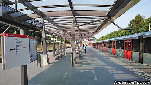
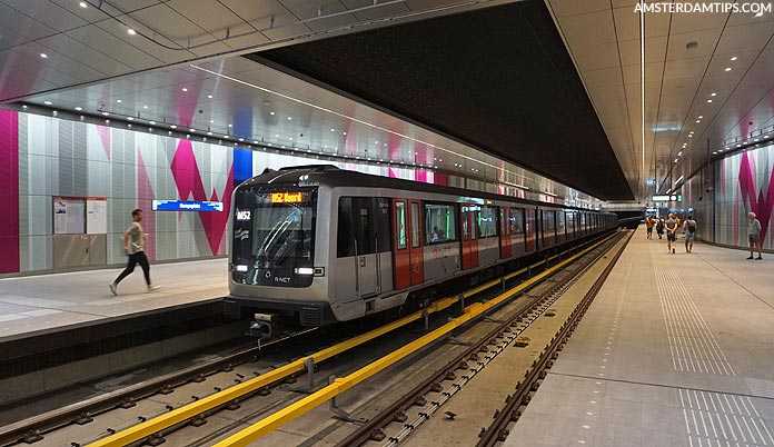
At 0730 on Sunday 22 July 2018 an Alstom M5 metro train will pull away from Amsterdam Noord station for the inaugural journey to Amsterdam Zuid station. It will stop 2 minutes later at the nearby Noorderpark station before descending under the IJ river to Amsterdam Central station.
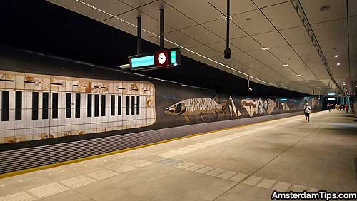
It then continues underground through the central spine of the city to gleaming new stations at Rokin, Vijzelgracht, De Pijp and Europaplein before ascending and arriving at Amsterdam Zuid at 0745.
A 15 minute journey of just 9.7km (6 miles) – but which has taken decades of planning and 15 years of construction. For many residents, the centre of Amsterdam has felt like an ongoing construction site since about 2002.
The Noord/Zuid line was originally planned to be ready by 2005. However some major issues had to be faced whilst building tunnels up to 30m below street level on the soft, marshy ground of Amsterdam.
In 2008 work was halted for a year after 300 year old Wevershuizen (a row of Weavers houses) on Vijzelgracht sank by up to 20cm. Based on the findings of a Commission the city council decided to continue with the project.
Most of the construction work was completed by the end of 2016 and over the last 18 months the metro line has been in a testing phase. The official unveiling and final public test day will be on Saturday 21 July 2018.
The total cost of the project has come in at €3.1 billion (2009 prices).
Amsterdam North-South Metro Line Map
To illustrate the new Amsterdam metro line we have designed this map/infographic with some interesting facts and figures from the project.

We have also compared it to 2 huge metro projects ongoing around Europe – London’s CrossRail and the Grand Paris Express. You can see that both dwarf the Amsterdam project in terms of budget and scale, however the Amsterdam engineering team faced a unique set of challenges.
The opening of the North-South line will mark major changes in the public transport timetable around Amsterdam. Journey times will improve significantly on the north-south axis. There will be big changes to Amsterdam tram lines and routes – trams 9, 10 and 16 will be retired, trams 1, 3, 5, 7, 12 and 14 will be re-routed and new trams routes 11 and 19 will begin.
In the future the North-South metro line could (and should) be extended from Amsterdam Zuid to Schiphol Airport. At this stage travellers arriving at the airport still need to take a Dutch Railways train to either Amsterdam Central or Amsterdam Zuid in order to access the Amsterdam public transport network.
Let’s hope that all goes well with the metro line launch and that Amsterdam reaps significant economic benefits over time.
UPDATE 22/07/18 – The launch of the metro line 52 has so far gone relatively well. Here are some photos of the new stations:


About the Amsterdam Metro – The Amsterdam Metro was first opened in 1977 and is operated by city transport company GVB. It is made up of 5 lines – 50/51/52/53/54, at just over 50km in total. See the complete Amsterdam Metro Map
About AmsterdamTips.com – Established in 2007, this local insider guide to Amsterdam helps visitors and residents get more from their time in the city. Our Getting Around Amsterdam section will get you up to speed about public transport.


